Rambling On Blog
21/12/2025
JANUARY 2025 - AN INTRODUCTION TO THE HOWGILLS
Looking back on my first trip of the year in Robin
I started 2025 with plenty of plans for new places to explore. Last year had been all about finishing off the Welsh Nuttalls; this year I was ready for something new and one of the first places on my list was the Howgill Fells.
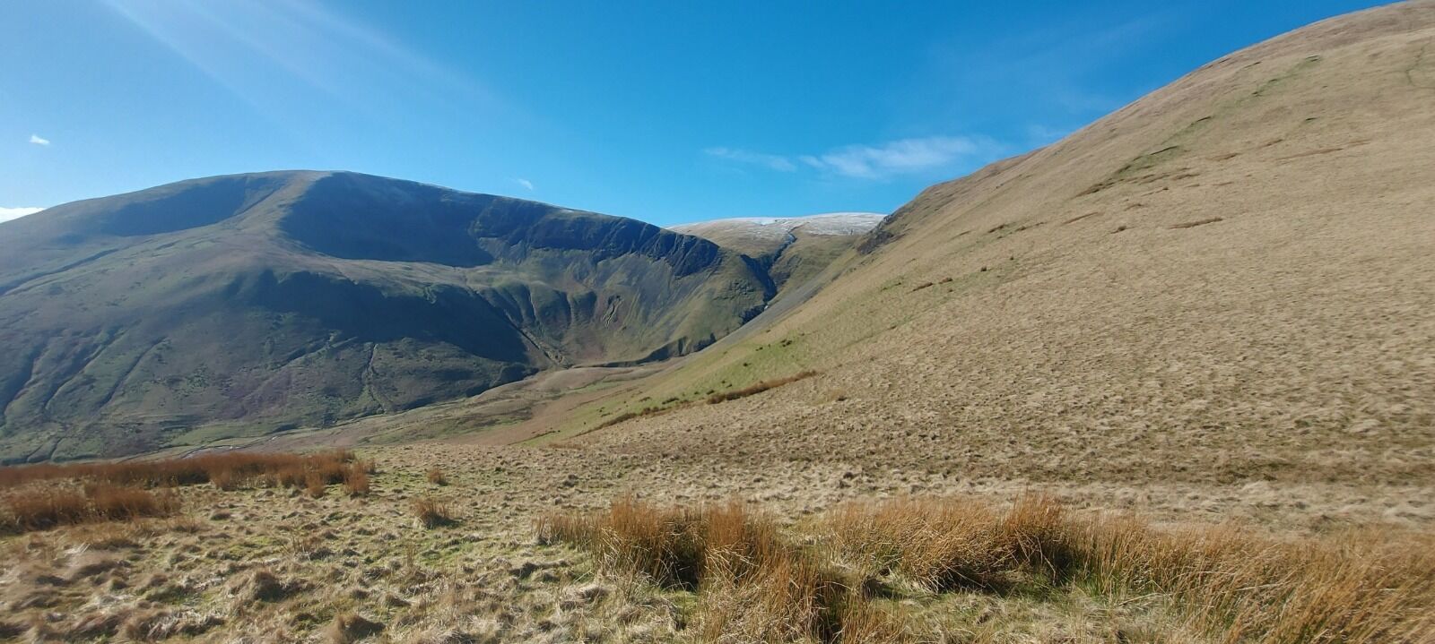
The Howgills sit alongside the M6, and I’ve passed them countless times on my way to the Lake District or up to Scotland without ever stopping. From the motorway they look little more than grassy lumps, but I’d always wondered what lay beyond what you can see from the road.
So for my first trip away of the year, I headed up the M6 in Robin, my little red van, for a proper mooch of this area. I’d done plenty of research beforehand, looking for a route that would take in some of the best bits, and settled on a walk starting not far from Sedbergh. The route climbs up alongside Cautley Spout , England’s highest cascading waterfall, before continuing up to the highest point of the Howgills, The Calf, complete with its trig point.
When looking at the map, I noticed another trig at the far end of the ridge running out from The Calf towards Sedbergh. The ridge also picked up a few Nuttalls along the way, so it seemed the perfect choice. From there, I could either drop back down into the valley to make a circular route or retrace my steps along the ridge. Either way, it was shaping up to be a two-trig walk, with a few Nuttalls thrown in, a pretty good way to start the year.
It was a cold but beautiful day, with clear blue skies from the outset. The start of the walk was glorious, venturing into the valley and seeing the impressive waterfalls ahead. I quickly gainied height on the path alongside the waterfalls and then headed towards the highest point. On the way I passed a frozen tarn, its icy surface glinting in the winter sunshine.
The views from The Calf were magnificent, and from there I continued along the undulating ridge. I made a short diversion to take in the summit of Bran Rigg Top, one of the Nuttalls, before pressing on over Calders (another Nuttall) and then out to Arant Haw, another worthwhile detour. Eventually I reached the summit of Winder, which sits above the town of Sedbergh and is crowned with a lovely trig point.
I lingered here for a while, sitting in the sunshine and soaking it all in. It was one of those days where everything feels just right. When I finally moved on, I spotted an intriguing little summit nearby. A quick look at the map told me it was called Crook, so I wandered over and stopped there for some hot soup from my flask while looking out towards the peaks of the Yorkshire Dales beyond.
There are, I believe, 38 Nuttalls in the Yorkshire Dales, and there is a challenge to complete them all, definitely something to think about for the future. I also noticed from the map that I was walking the High Dales Way, something else to look into!
I retraced my steps back to Calders, and once again the grassy, rolling ridge was a joy to walk. At Calders I turned right to take a different route back towards Cautley Spout, heading over Great Dummocks. This route followed a stunning path above high crags, quite a contrast to the smooth, rounded hills I’d been walking over for most of the day.
A small hop across the river and I was back on the path by the waterfalls, taking me back into the valley where I’d started from. Once down, I found a spot to sit and take it all in again, looking back towards the impressive Cautley Spout, really allowing myself the time to experience this beautiful new area.
The day had been a real treat. The weather was perfect, with wonderful landscapes and easy, enjoyable walking. I’d covered around 12 miles but it never felt that far at all. The easy, grassy terrain made the distance pass easily.
My introduction to the Howgills was just perfect and it wouldn’t be long before I’d be back for more.